Armenia, lies just south of the Greater Caucasus mountain
range and is landlocked on all sides.
To the north and east it borders Georgia and Azerbaijan, while to the southeast
and west it’s neighbours are Iran and Turkey. Although it is located in subtropics, 90% of
Armenia’s elevation is over 1000m above sea level. The high-mountainous
character of the landscape creates rather dry, hot summers (with average
temperatures of 25 degrees С) and cold winters (average temperatures of -6
degrees C). This mountainous climate creates opportunities for diverse habitat
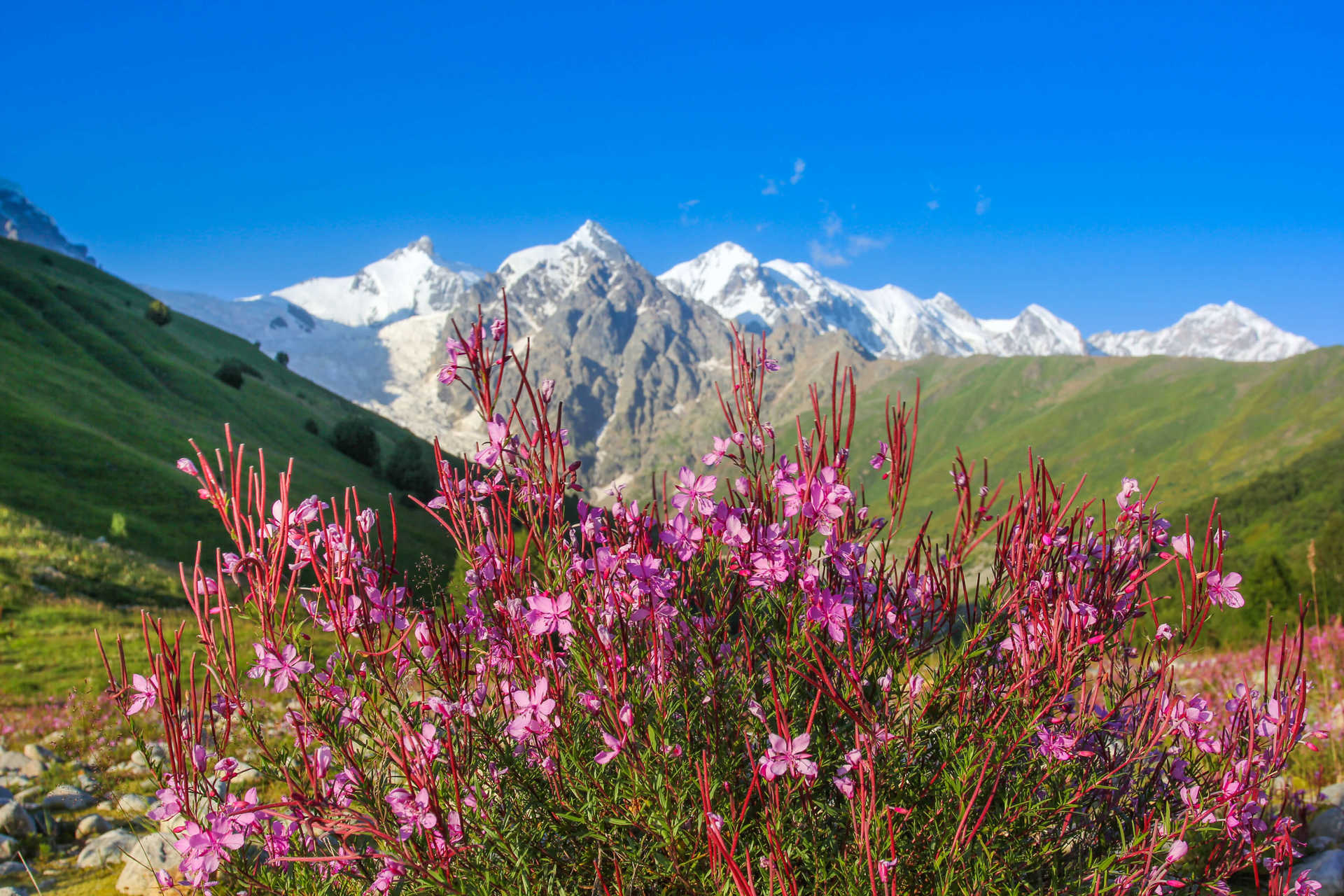
and Armenia’s flora is widely varied across the arid semidesert, up to the high alpine meadows. Woodlands occupy
around 12% of the land, which is particularly prominent in the Dilijan National
Park, a heavily vegetated region that displays the Armenian seasons in all
their glorious colour.
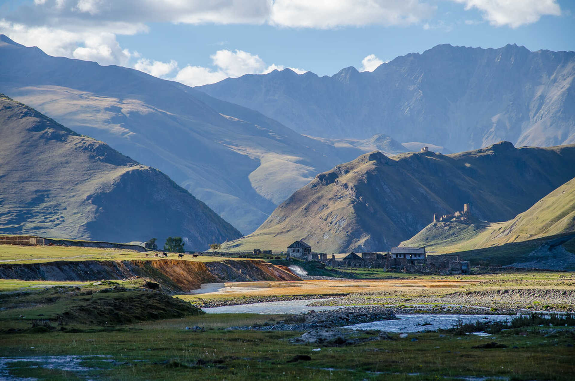
A country framed by over
3,000km of mountainous terrain, Armenia’s mountains are still very young and seismic
occurrences such as earthquakes are still present in the region as the
mountains continue to grow. The highest of these peaks is Mount Aragat,
standing tall at 4,090 metres, this dormant volcano forms a dramatic backdrop
to the capital city of Yerevan.


