Trekking In Armenia
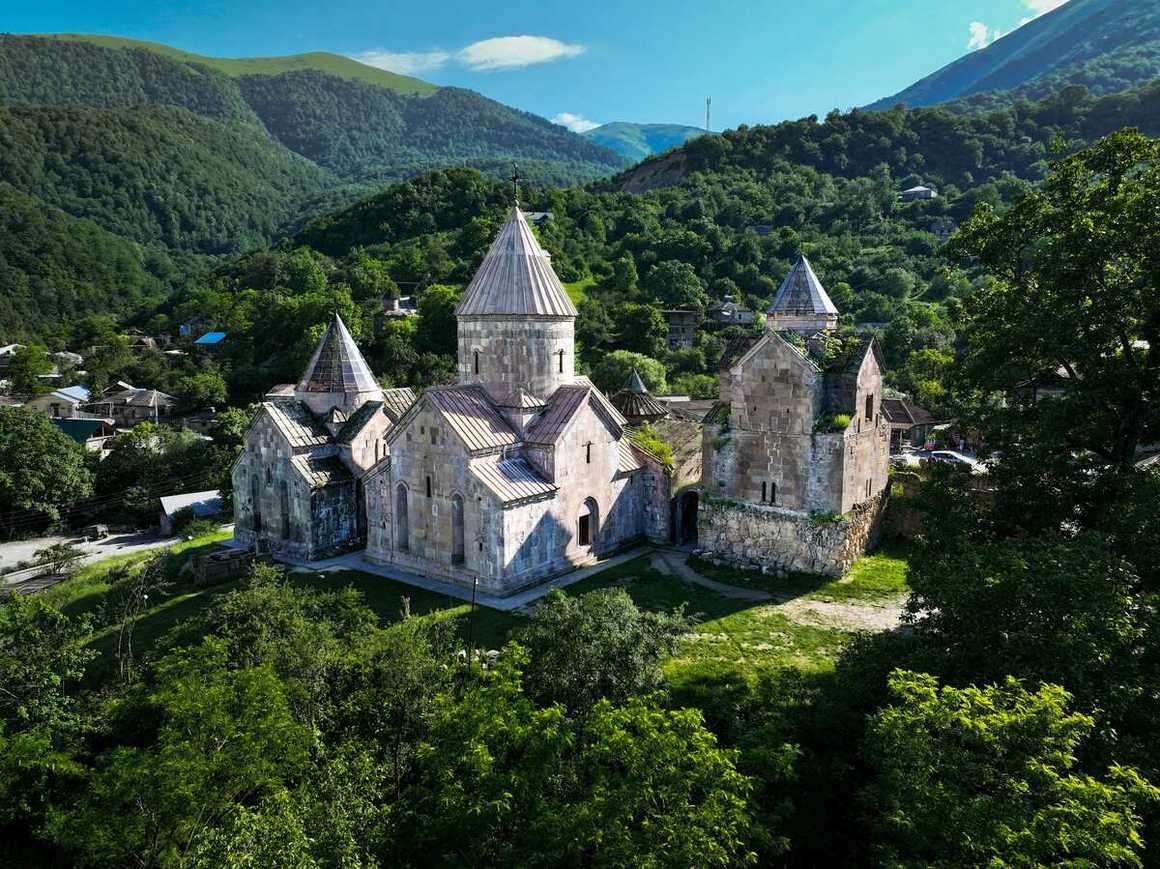
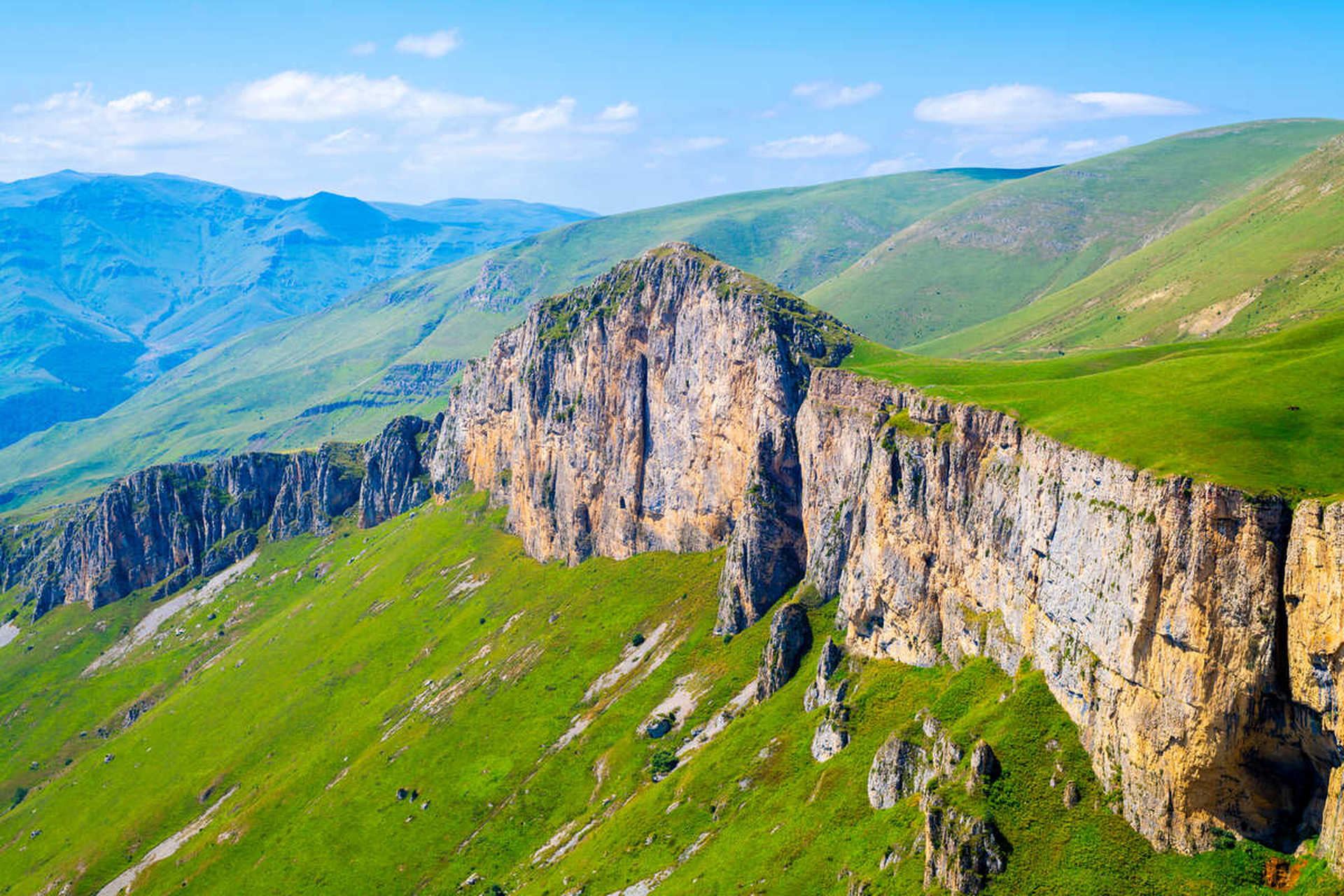
With epic mountain landscapes, fairytale villages and alpine
meadows, Armenia is one of the most underrated trekking destinations in Europe.
From challenging trails through the Caucasus Mountain Range such as the Transcaucasian
Trail to easier day-hikes in Dilijan National Park, there are treks in
Armenia to suit all ability levels.
There are so many breathtaking places to hike in Armenia it
can be difficult to know where to start. In this guide we’ll cover all you need
to know about trekking in Armenia including which destination to choose as your
base, which trails to take and what to expect on your adventure.
Best Time of Year for Hiking in Armenia
The climate in Armenia is continental and dry with four
seasons. Summer is dry and sunny, lasting from June to mid-September. Winter is
short and quite cold with plenty of snow. Spring in Armenia brings mild
temperatures, blooming wildflowers and lush green landscapes. Autumn in Armenia
is mild and sunny with hot weather, bright colours of landscapes and an abundance
of autumn fruits.
Temperatures can vary considerably between the seasons with
summer months reaching pleasant temperatures of around 25 °C and temperatures
climbing to 40 °C in the Ararat Valley. Lightweight cotton clothing with
rainwear for sudden showers is recommended in summer.
Winters in Armenia can be quite cold with temperatures
falling to -5 °C in the capital of Yerevan, -30 °C in the Ararat Valley and -46°C
in the Lake Arpi area. Medium to heavyweight clothing is necessary for the
winter and be prepared for extreme low temperatures in the Ararat Valley and
near Lake Arpi.
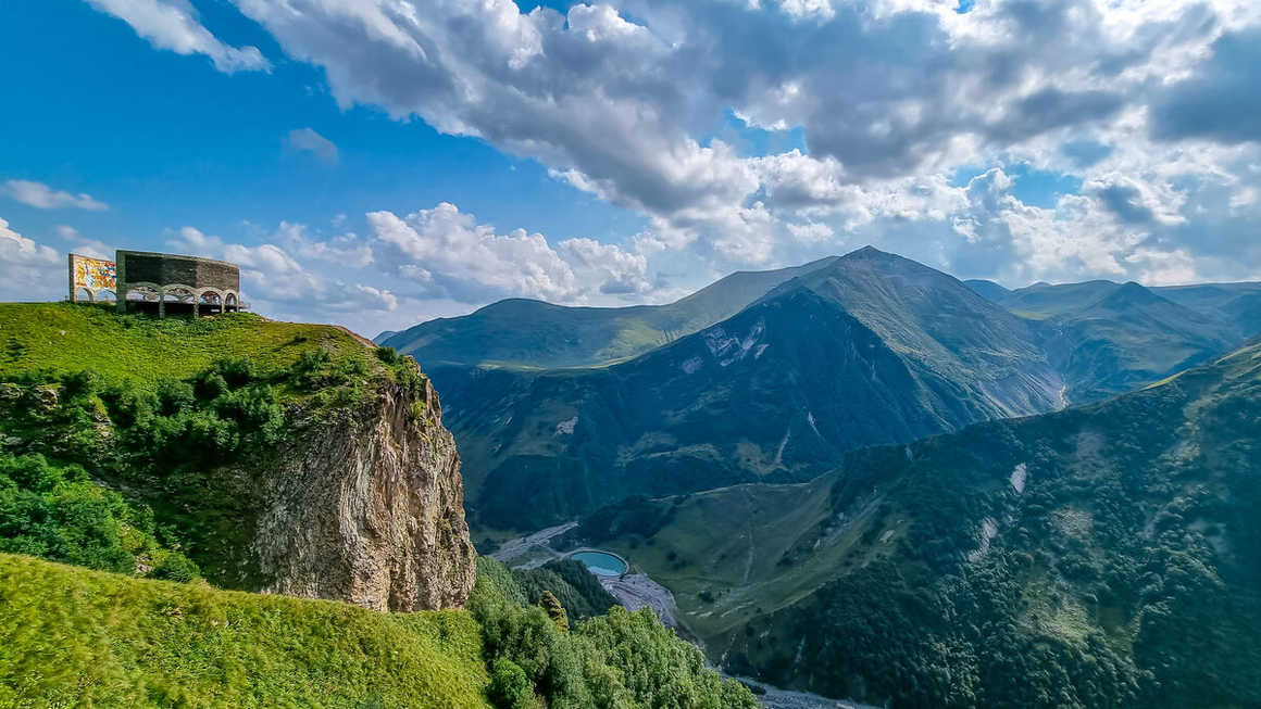
5 of the Best Treks in Armenia:
The Transcaucasian Trail is a long-distance hiking
trail stretching over 3,000km through Armenia, Georgia and Azerbaijan. The
trail has been developed by a small group of locals, having only opened to the
public in the last 5 years. It showcases the very best of the unique cultural
and natural landscapes on the Caucasus Mountains, offering a world-class hiking
experience.
The Armenian section of the Transcaucasian Trail takes
hikers through 827km of the most spectacular terrain the country has to offer. In
Armenia, you’ll discover a diverse landscape of mighty mountains, lush forests,
picturesque valleys, remote villages, ancient monasteries and stunning
viewpoints as you trek along the trail. The enchanting town of Dilijan in the
Tavush Province of Armenia, which is passed through on the trail, is even
referred to as the “Little Switzerland” of Armenia.
Kandoo Adventures Transcaucasian Trail offers a 14-day
itinerary that explores some of the Armenian and Georgian section of the trail.
Setting off from Yerevan, we follow a scenic route through the sweeping passes
and remote nature of Dilijan National Park. Crossing the border from Armenia
into Georgia, we then venture into the Kazbegi region of the Caucasus
Mountains.
If trekking in Armenia and Georgia isn’t
currently on your radar, then get ready because the Transcaucasian Trail is
quickly becoming a popular destination in the trekking community.
2. Dilijan National Park
Famous for its forests, mild, humid climate and mineral
springs, there are plenty hiking trails in Dilijan National Park. The forest
trails here are very convenient for hiking, horse riding and biking. While
Kandoo Adventures Transcaucasian Trail trek does explore some of the Dilijan
National Park’s most popular sites such as Lake Parz, Gosh, Jukhtakvak
Monastery and Haghartsin Monastery, there are a great deal more jewels to be
discovered in this beautiful national park.
We go up Mount Apakekar on our Transcaucasian trail route,
for example. Located between the villages of Teghut and Hovk in the Tavush
province, Mount Apakekar is 1,651m at its highest point but this does not make
the route less interesting. The route passes through meadows where you will
meet grazing animals, weaves through forests and goes to the cliffs where the
summit of the mountain is located. It is about 11km and offers views of the
Sartsapat Mountains.
3. Mount Aragats
Mount Aragats is an isolated mountain in Armenia, northwest
of Yerevan and north of the Arat Plain, with four summits. At 4,090m its
northern summit is both the highest mountain in Armenia and the Lesser Caucasus
range, though this route requires technical mountaineering skills and equipment
such as snowshoes, crampons and an ice-axe. At 3,888m, the southern summit is
the easiest of its four peaks to climb. Near the jagged summit are high
mountain meadows and rockfalls.
Mount Aragats is about 80km from Yerevan. Given the weather
conditions in this area, the best season for hiking Mount Aragats is from May
to September. And depending on your preferences and level of experience, you
can set out on a one-day hike to the mountain or arrange an overnight trek.
Starting from Lake Kari at an altitude of 3,200m, the climb
to the southern peak of Mount Aragats takes between 2.5-3 hours. The trail is
moderately difficult, but it is not necessary to be an experienced climber,
though you need to have an instructor or hiking guide with you.
4. Kasagh Gorge
Located just a 45-minute drive away from Yerevan in the
Western Armenian province of Aragatsotn, there is an 8km trail between the
villages of Saghmosavan and Ohanavan that has lots to offer history and
architecture buffs. The route passes through the Kasagh Gorge, where the
beautiful river flows and dramatic geological formations along the rock cliffs
can be seen.
The Kasagh Gorge is overlooked by two striking monasteries;
Saghmosavank which was built in the 13th century and Hovhannavank,
which dates back to the 5th century. In the Middle Ages, the Saghmosavank monastery
was known for holding valuable manuscripts, which were created and copied in
the monastery. Legend tells that Saghmosavank was a saviour of Armenia at one
point in time. Hovhannavank monastery, on the other hand, is known for its
history of producing manuscripts, and has many inscriptions and carvings.
Following the Kasagh River Canyon, hiking between the two
monasteries perched on top of the picturesque canyon, this trail is perfect for
trekkers looking for day-hikes in Armenia. There is a bridge near Oshakan which
crosses the gorge and from either church, Mount Aragats, the highest peak in
Armenia, can be seen.
5. Yeghegis Valley
Surrounded by dramatic peaks, picturesque villages and
medieval churches, the Yeghegis Valley in Armenia’s Vayots Dzor province is
excellent hiking territory.
There is a good path from the farming village of Yeghegis
that gradually ascends to the western end of the Smbataberd Fortress that looms
over the beautiful Yeghegis Valley. Little remains inside the fort itself, but
the views down three sides are spectacular. It is one of the most beautifully
placed locations in Armenia. From here you descend along the ridge to pick up
the path to Tsahats Kar and then back to Yeghegis via an alternative route. The
hike takes about 1.5 hours in total.
